Archives for the month of: March, 2021

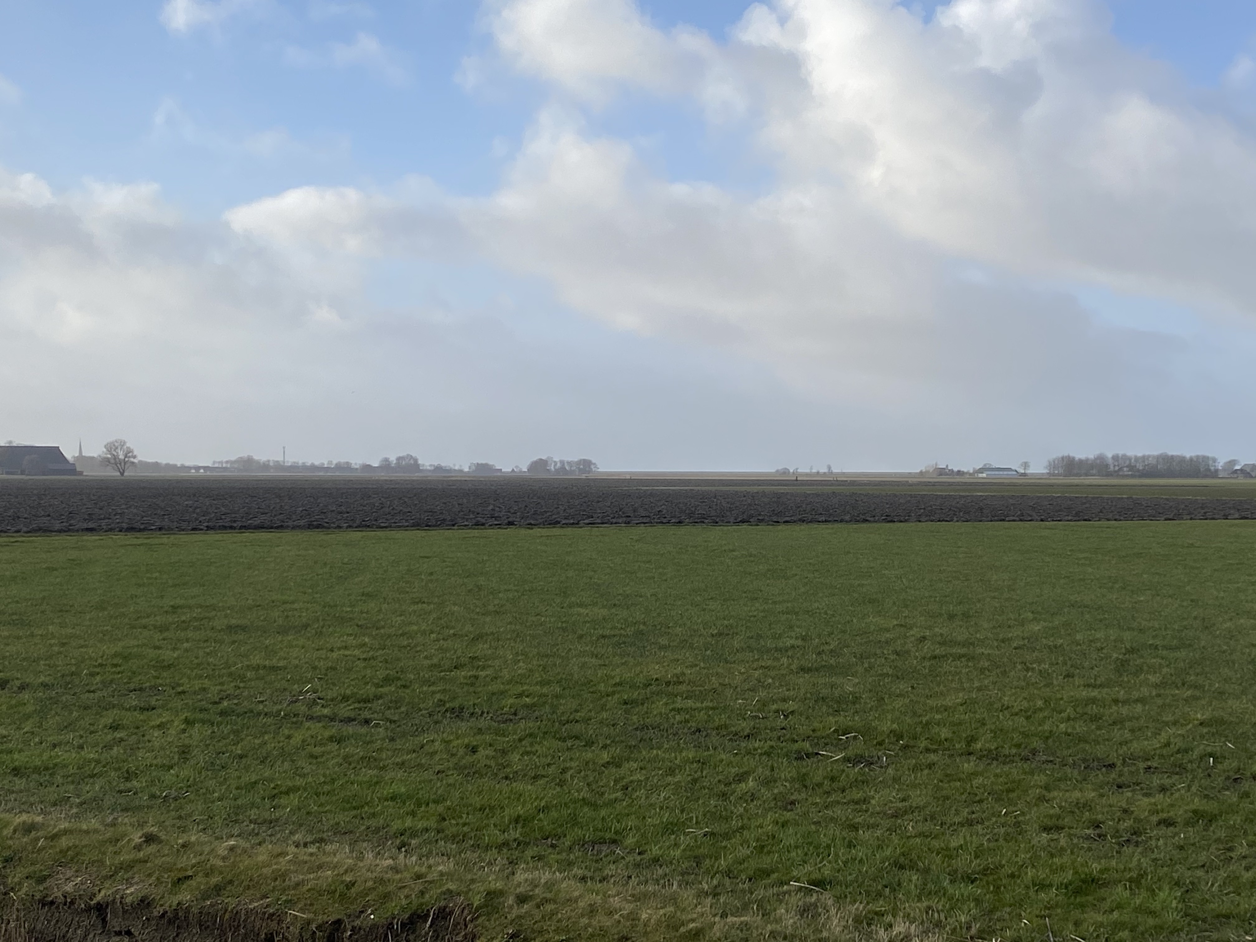
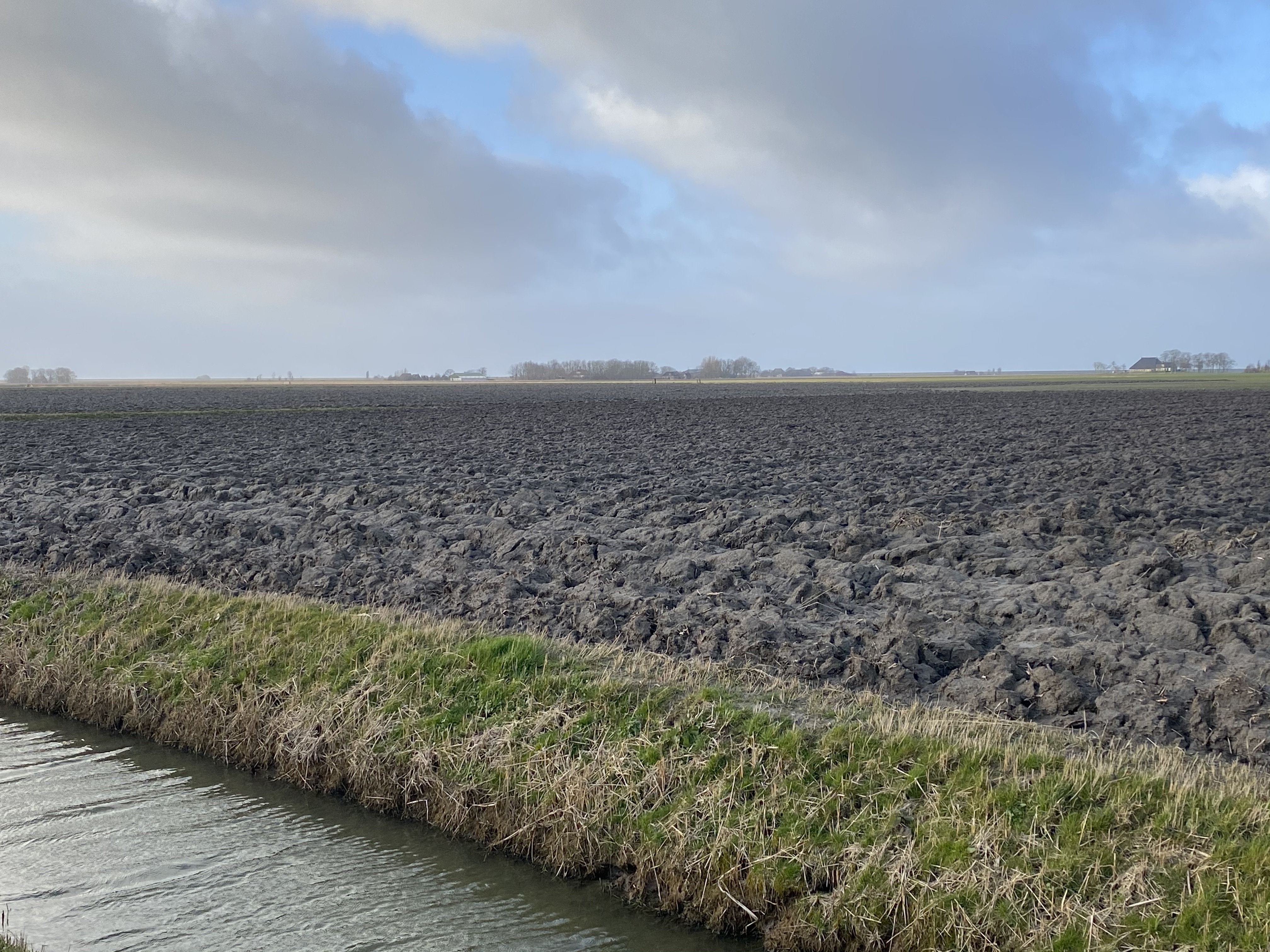
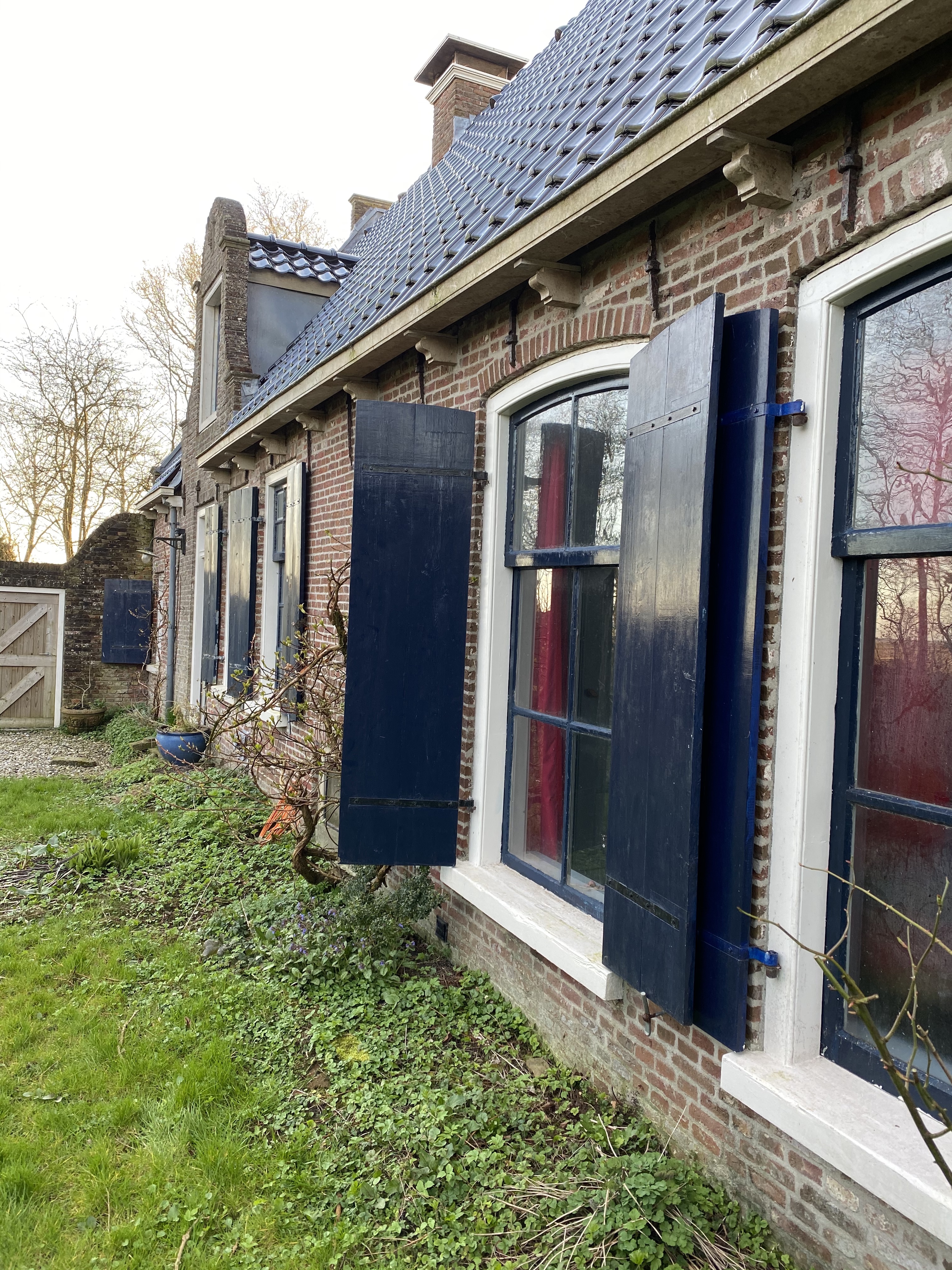
Arriving in a new place. It always strikes me how the weather statistics do not prepare me for new encounters. The land is flat, open, and then there is the major character in the play, wind. There is no escape in this landscape. Even inside, the wind plays around the house. The house, built in 1872, has beautiful windows with sturdy, functional wooden shutters on the outside. One of the shutters that I keep shut, because it is in part of the house I don’t use right now, is not secured. That was not a problem, until the wind changed direction. Sleeping right above that window, the shutter kept banging against the house, keeping me awake through the night. There is no escape.

today it is calm, time to open the shutters

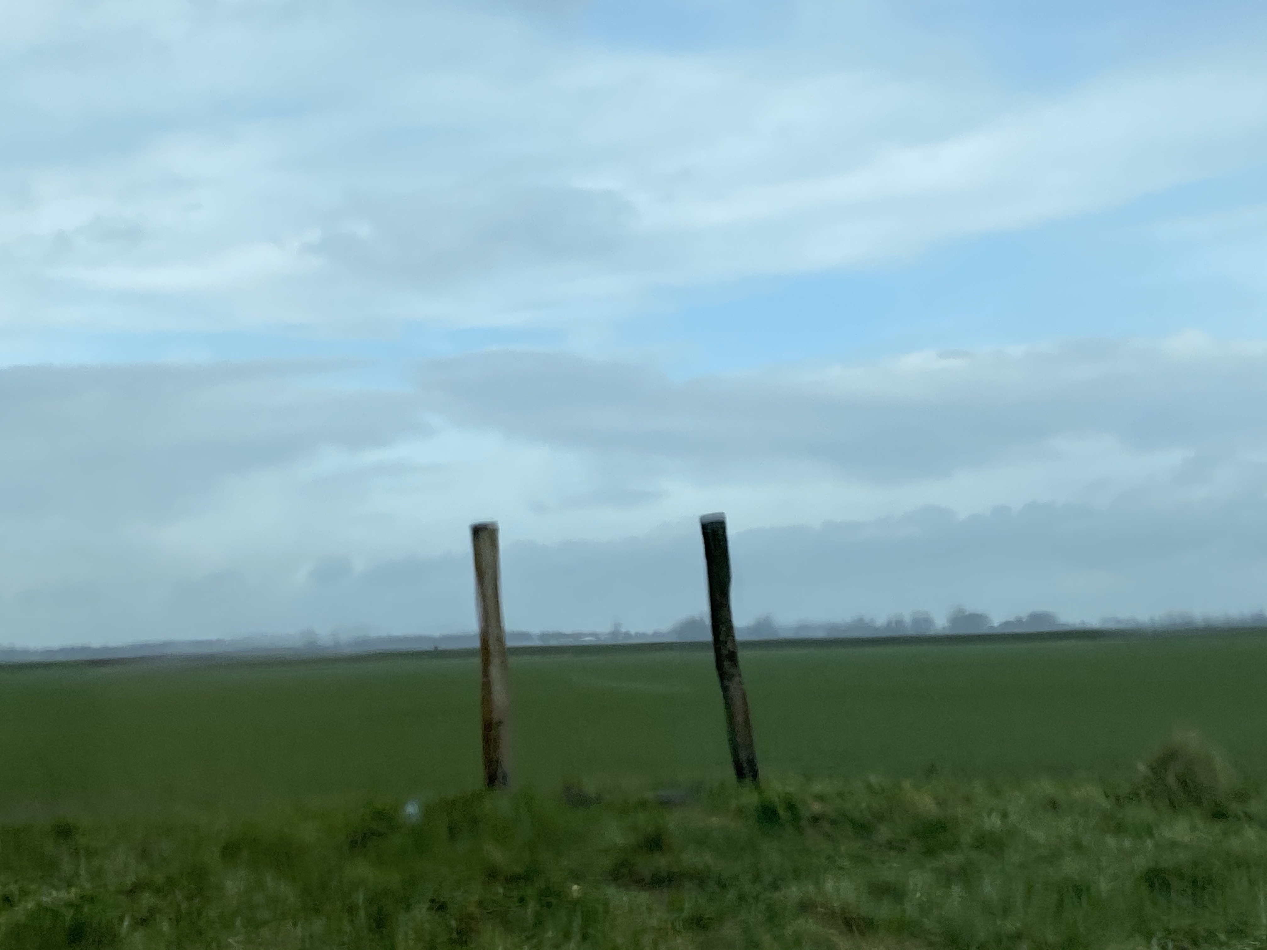
There is always wind, and it changes direction, I am sure I will learn more about typical characteristics. Going through the land, I feel the wind, pushing me forward or against me. I have to become friends, this is a committed relationship. 

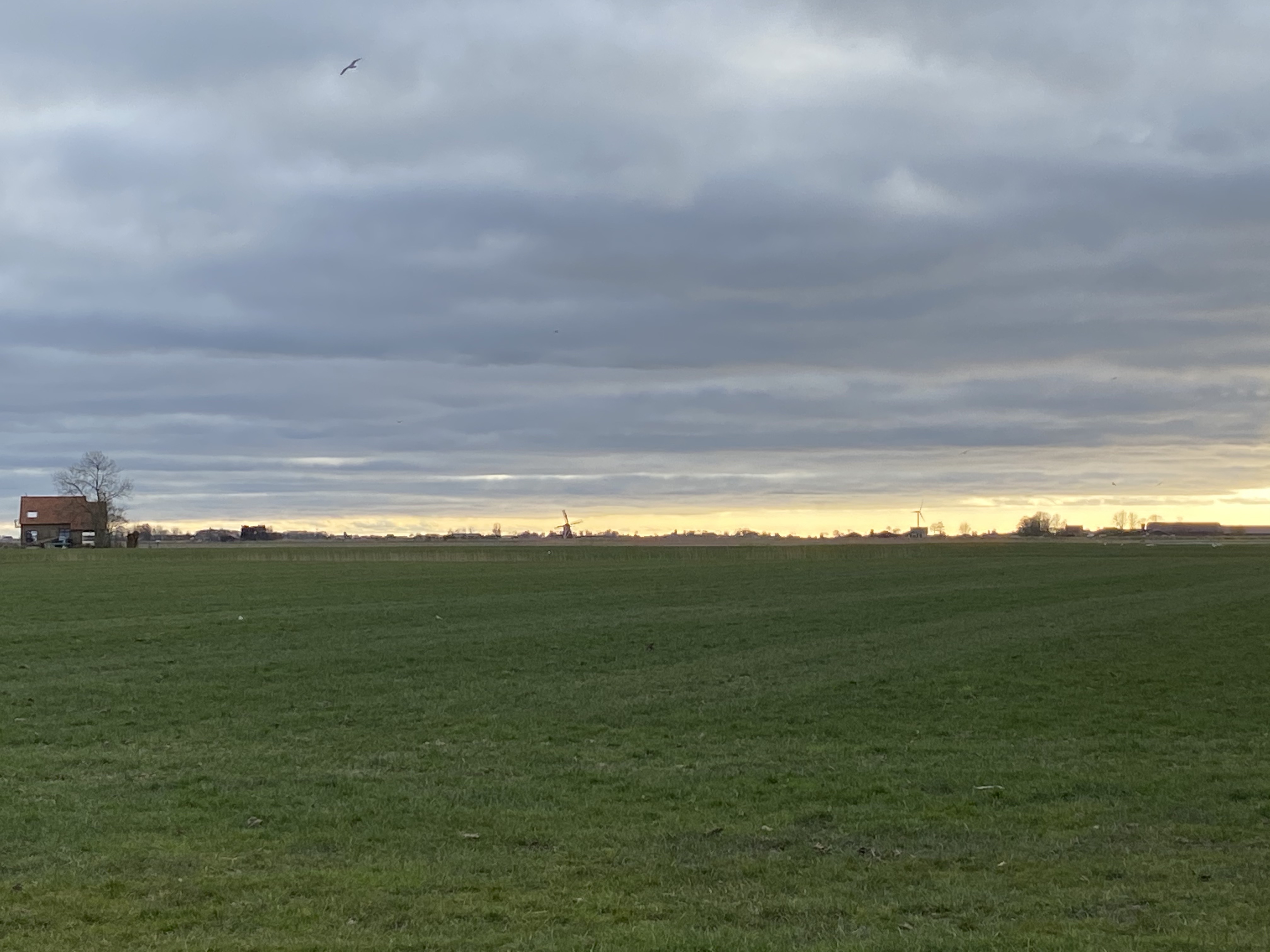
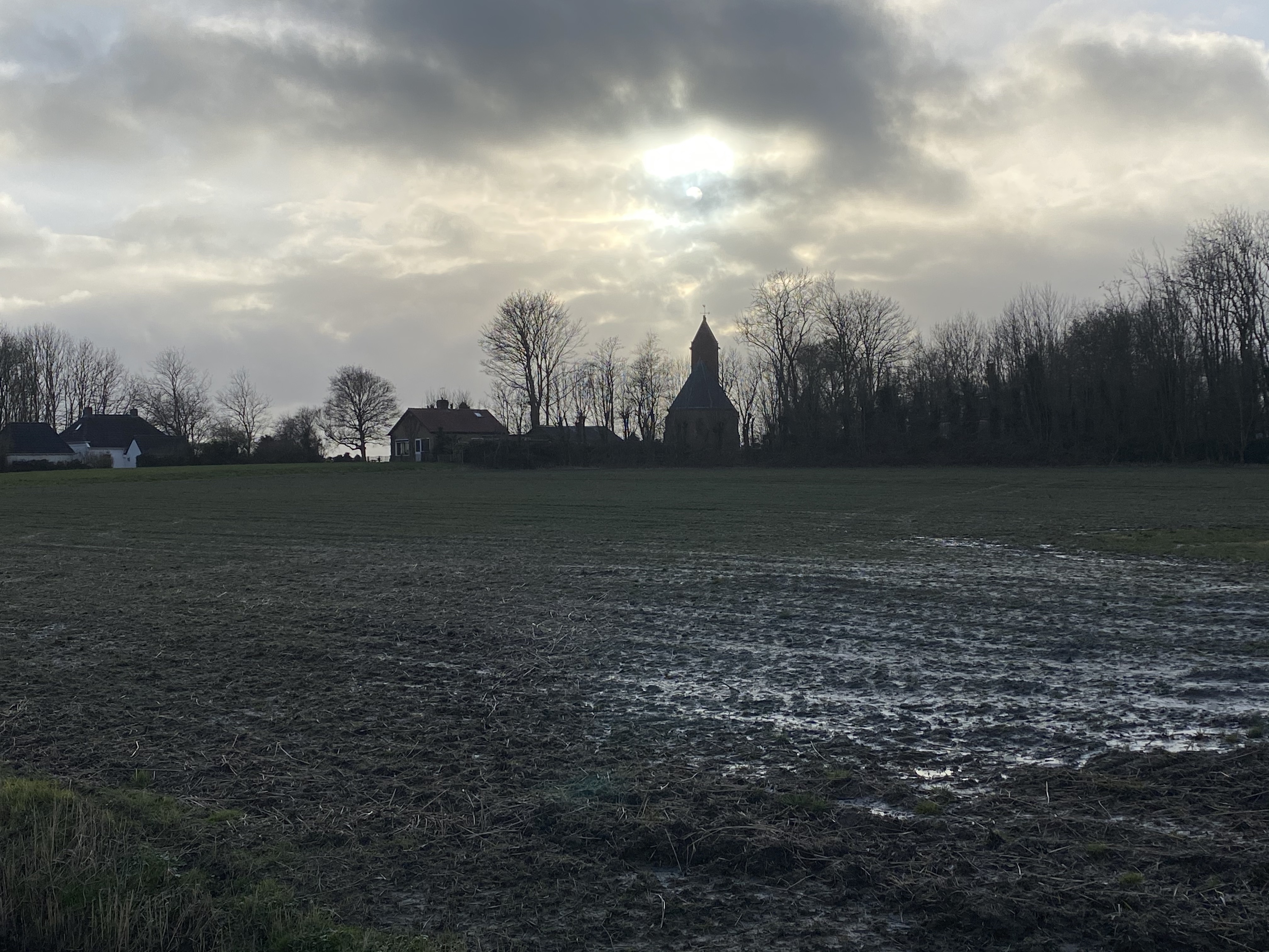
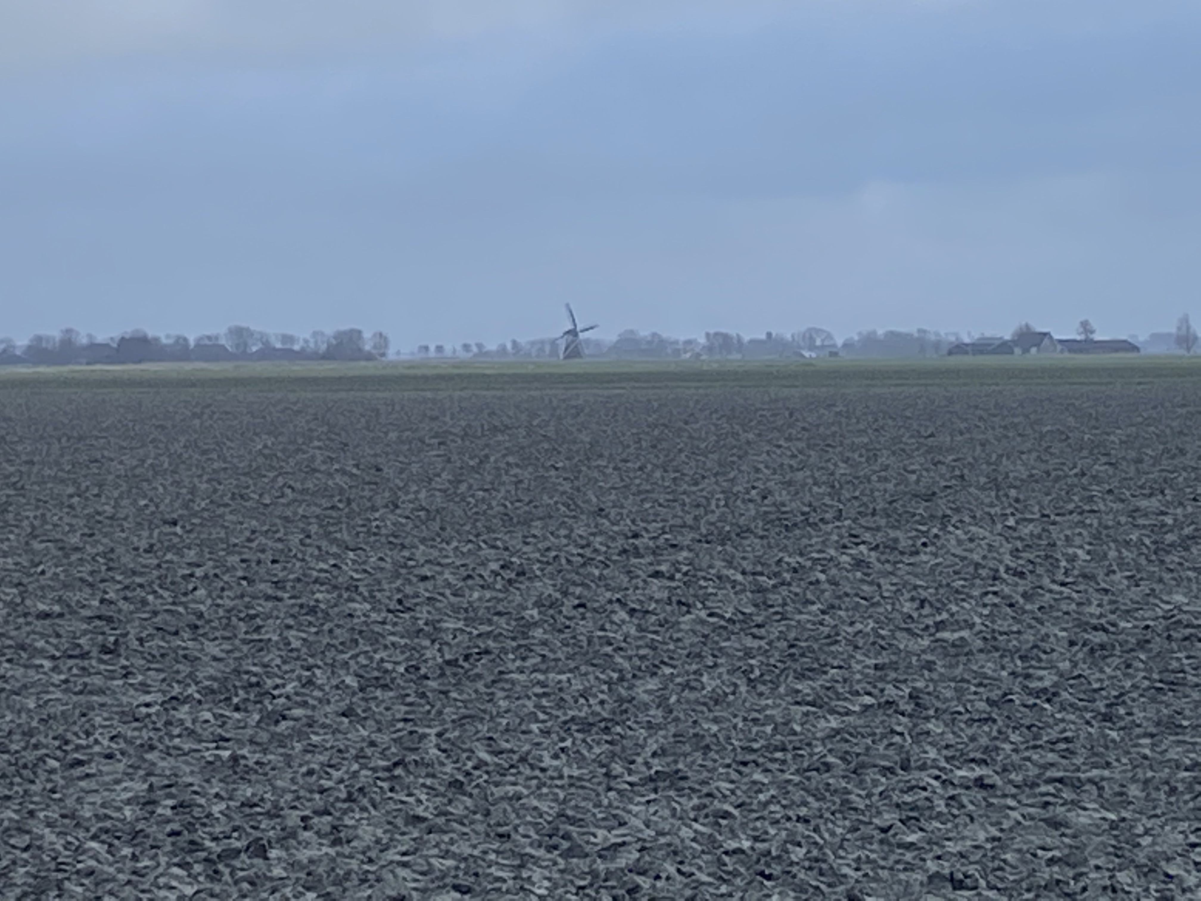
In whatever direction I look there is a windmill on the horizon, an old one, from the early days. No wonder with this kind of wind. Then there are the modern ones, the wind turbines, but surprisingly few, I hear myself thinking. Yet, every large farm seems to have its own. Wind, what an energetic phenomena, especially here, where it has free rein in all directions. Energy, you would think, happily taken for free.

Whereas everybody likes the old windmills, the new turbines have a less favorite reputation in the collective mind of the Dutch. Attached to their wide open views, the dominate objection to building more wind turbines is an aesthetic one, it spoils their view. Second, the blade shadows, but only if you live in the shadow range of one of them, same with sound. Then there are the birds, and of course, it is not a good idea to place these colossus in bird breeding grounds or migrations paths, but other than that, much of the land does not seem to be of interest to the bird population anyway after years of mono cropping. 

I don’t share the same sentiment. Yes they are a novel and visually dominant part of the landscape, but also necessary if we continue on our paths of energy consumption. The damage of our conventional ways, burning peat for the longest time, and only since the 1960’s, drilling for gas on a large scale, is maybe less visible, but all the more impoverishing. Peatlands are unique ecosystems, in addition, they sequester large amounts of CO2. Removing peat from our lands also has caused the land to subside. This of course is also one of the major impacts of gas exploitation, the land is sinking, and the earth is shaking us up with occasional earthquakes. Do we respond.

I get it, wind turbines sprouting up, maybe not the most romantic of views of nature. Maybe not a view that is causing a new Golden Age of painting in the Netherlands. But maybe one that we need as a daily reminder of the amounts of energy we are consuming. The bonus, it is a lot cleaner than what we have been burning.  

I am reminded daily of its power. 

https://www.energy.gov/eere/wind/advantages-and-challenges-wind-energy

https://www.milieucentraal.nl/klimaat-en-aarde/energiebronnen/windenergie/

Advertisement

I was born in the Betuwe, on the edge of the part of my home country that is above sea-level. Go west and north and the land is inundated, below sea level, if not for the engineering genius of the people who build dykes and figured out how to pump the land dry. I have always had a strange relationship with this land; I feel most at home in mountains and deserts. So it is a bit strange to find myself on the edge of the ocean, flatland as far as my eyes can see, with the intention to stay here for a while and submerge in its stories.

Maybe now is the time to newly appreciate this land, looking at it with fresh eyes, informed by what I have learned and experienced from land and people in other parts of the world where I have lived over the years. 

Its flatness is not an indicator of its historic depth as people have lived in this region for millennia, and like other coastal zones, it is dynamic, water, plants, animals and people have  moved in and out. But where to start, how to frame the story of this land. Maybe it is best to start with our current concern of rising sea-levels, of melting ice-sheets and focus on moisture, or what Mathur and DaCunha have termed “wetness” as a novel way of looking at our relationship with oscillating air-water, gas-fluid, interfaces, horizontally as well as vertically. 

During the last Ice Age (Pleistocene) is when the ice sheets formed, a time when the Netherlands had a tundra climate. The land, now called the Netherlands was formed as a result of the interplay of four main rivers (Rhine, Meuse, Schelde and IJssel) and the influence of the North Sea and glaciers during the Ice ages. It is mostly made up of sediments that were deposited during the Pleistocene glacial and interglacial periods. The Saale glaciation covered the eastern part of the Netherlands, moving in from the north it pushed moraine forward that remained in the landscape as a long hill, forming the higher parts of the country. Saale ended around 130.000 years ago. During the warmer periods, Neanderthals, moved into these tundra and intermittent permafrost regions and from about 40.000 BC, early modern humans began to settle here. 

Looking out from my desk at the window over fallow fields that, I assume, will soon be planted with potatoes and imagine early hunter gatherers roaming these regions of tidal sand flats and peat marshes 10.000 years ago. Suddenly it is not so flat anymore. The interplay of life, land, and water. I am ready to listen to the stories. 

https://www.mathurdacunha.com

Just moved to my new location from where I will start my return to academia. 

Driving through the northern Netherlands landscape with my housemate from the biodynamic farm, she calls out: ‘the green desert!’ 

I have a soft spot for desert environments, but I had never heard the term Green Desert, and certainly not referred to as a place in the Netherlands; I associate my home country with wetlands and rain. 

My housemate, who hails from this region and studied environmental science before her training as a Gartnerin/ biofarmer, explains to me that the green fields are in fact monoculture fields of English ryegrass. Although chosen for its great ability to set seed and germinate easily, the obvious downside is its reputation as invasive species, outcompeting native plants.

Arriving in Brantgum, noord-oost Friesland.  The land characterized by the ‘low hills’ of the terpen villages, man made mounds in the otherwise low-lying, marine-clay land behind the current dyke. The terp protects the villages when the sea entered the land in the past, creating fertile grounds, the kwelders. The hills are of a different dimension, but running around I begin to detect the subtle topological differences in the landscape. 

The first ‘Terpen’ date from the fourth century B.C. Throughout the history of this coastal landscape new terpen were created, the location of the village mounds were dictated by agricultural potential of the surrounding area. The lowest areas served as pasture lands. 

Contrary to popular belief, this area was not poor, nor isolated, as evidenced by the many archaeological finds of precious metal artifacts, brought into the area from Scandinavia, England and Roman origin. During the Middle Ages, things began to change, building of dykes, and pumping the land dry created a sweet water landscape. 

Arriving in this land in 2021 it seems not much has changed since then, the villages, the fields, resilient features of time-tested agricultural practices. 

Time to expand my knowledge of the Northern coastal landscape, especially around Brantgum, the area that is currently proposed as an addition to the UNESCO Wadden Sea – World Heritage – region, “the largest tidal flats system in the world, where natural processes proceed largely undisturbed. It extends along the coasts of Denmark, Germany, and the Netherlands.”

Operating from this small town, Brantgum’s population lies around 250 inhabitants,  a small town, bu the closeness to the tidal flats cultivates my awareness of a global connection.

In that sense, I am also more than thrilled with the news that Deb Haaland is confirmed as new secretary of the Interior in the Biden administration. This is good news for the U.S., and I believe will also spark new initiatives and collaborations across the globe to address socio-environmental challenges that humanity is facing. I will start in Brantgum. 

https://www.waddensea-worldheritage.org

https://www.holwerdaanzee.nl/nld/inschrijving-symposium-unesco-biosfeer-waddenkust-geopend/

Soil, the delicate layer that covers the land of our planet, that makes life possible. Our resource extraction, especially over the last hundred years or so, has left many scars on this skin. 

Usually in remote places, removed from our gaze, they have been brought to our attention by the beautiful photographs of Edward Burtynsky. 

Zooming in via Google Earth can give an idea of the vastness of these places, but still difficult to grasp how our resource hunger impacts the soil on a global scale. Not just an effect of these mining operation, since all things are connected, and the land beneath our feet is losing the ability to support life. Droughts and desertification are no longer restricted to arid regions, land degradation is a global problem.

More than 75% of the Earth’s land are substantially degraded, meaning, these have become deserts, are polluted or have been deforested, severely threatening biodiversity and probably your ‘back yard.’

Time to act is now, or better, yesterday, 20 years ago, for a sustainable and equitable future. But a good source to read up, is the World Atlas of Desertification and don’t let the title mislead you, degradation is all around you. 

https://www.bbc.com/culture/article/20181017-striking-photos-of-human-scars-on-earth

https://wad.jrc.ec.europa.eu/#about World Atlas of Desertification

https://www.nationalgeographic.com/science/article/ipbes-land-degradation-environmental-damage-report-spd

https://www.ipbes.net

It is that time. I am getting ready to move, as strange as that may sound in our current locked-down world. Not particularly far, going west and down south along the coast. Moving into the location of the largest natural gas field in Europe, discovered in 1959 and first exploited in 1963. The Dutch fossil fuel boom, still going strong after about 60 years, but not without hurdles and the end is in sight. Extraction has resulted in subsidence of the land surface and has induced earthquakes. This has caused health, socio-economic, and environmental  problems locally in such ways that the government has announced halting gas extraction entirely by 2030 for safety reasons, and only in special circumstances from 2022 onward. The goal is greener energy to meet the Paris agreement goals.

The Green Deal, an ambitious EU policy package with as aim to make Europe climate neutral in 2050. A commentary in Nature in Nov/Dec 2020 however provided a critical note. The EU relies heavily on agricultural imports, it allows Europeans to farm less intensively, yet by importing products that are produced less sustainably, in effect it exports its emissions. For now carbon accounting under the Paris agreement only covers emissions produced within a nation, not those embedded in goods consumed there but produced elsewhere. 

It is a strategy the western world has long engaged in; mining resources elsewhere and let local communities deal with the waste and associated environmental problems. Mining.

The price we pay for winning natural resources is high, even though it may seem there is enough to go around as new sources are continuously found, scarcity may not be our immediate problem. Problems are big but not always in sight. I am talking about Tailings.

Tailings are the materials left over from mining processes.

A tailings dam is typically an earth-fill embankment dam used to store byproducts of mining operations after separating the ore from the gangue. Tailings can be liquid, solid, or a slurry of fine particles, and are usually highly toxic and potentially radioactive. These embankments are some of the most colossal man-made structures on the planet, and the quest for economies of scale prompt mining companies to dig deeper and larger pits.

The waste material has the potential to damage the environment, by releasing toxic metals such as arsenic and mercury, also by acid drainage, or by damaging aquatic wildlife that rely on clean water. Yet, the biggest danger is dam failure; on average, worldwide there is one big accident each year involving a tailings dam, with devastating consequences for communities, wildlife and ecosystems.

Even though these structures are massive, it is still unclear how many of these exists worldwide. Recently, GRID-Arendal launched the world’s first public database of mine tailings aiming to prevent deadly disasters.

It is about time to make these wastelands visible as many of these are in rural lands, affecting communities long after mining companies have left. Such as the failing of the Church Rock Dam in 1979, in New Mexico, releasing 1100 tons of uranium waste and 94 million gallons of radioactive water into the Rio Puerco and through Navajo lands. A toxic flood with ongoing devastating consequences that still have not be adequately addressed 40 years later.

A symbol of societal indifference to the impacts of mining on Indigenous lands. There are many more.

Green Deal. It is time we assess the global impact of our energy/resource habits and dependencies. 

https://tailing.grida.no

https://www.vice.com/en/article/ne8w4x/church-rock-americas-forgotten-nuclear-disaster-is-still-poisoning-navajo-lands-40-years-later